

Project Puna
Project Puna is now being explored with the Cahuide community, in Santiago de Chuco, La Libertad, Peru.
Pre-feasibility. Last updated August 2026.
A reforestation carbon project being explored with the Cahuide community. The land, agreements and financing must be validated before any planting begins.
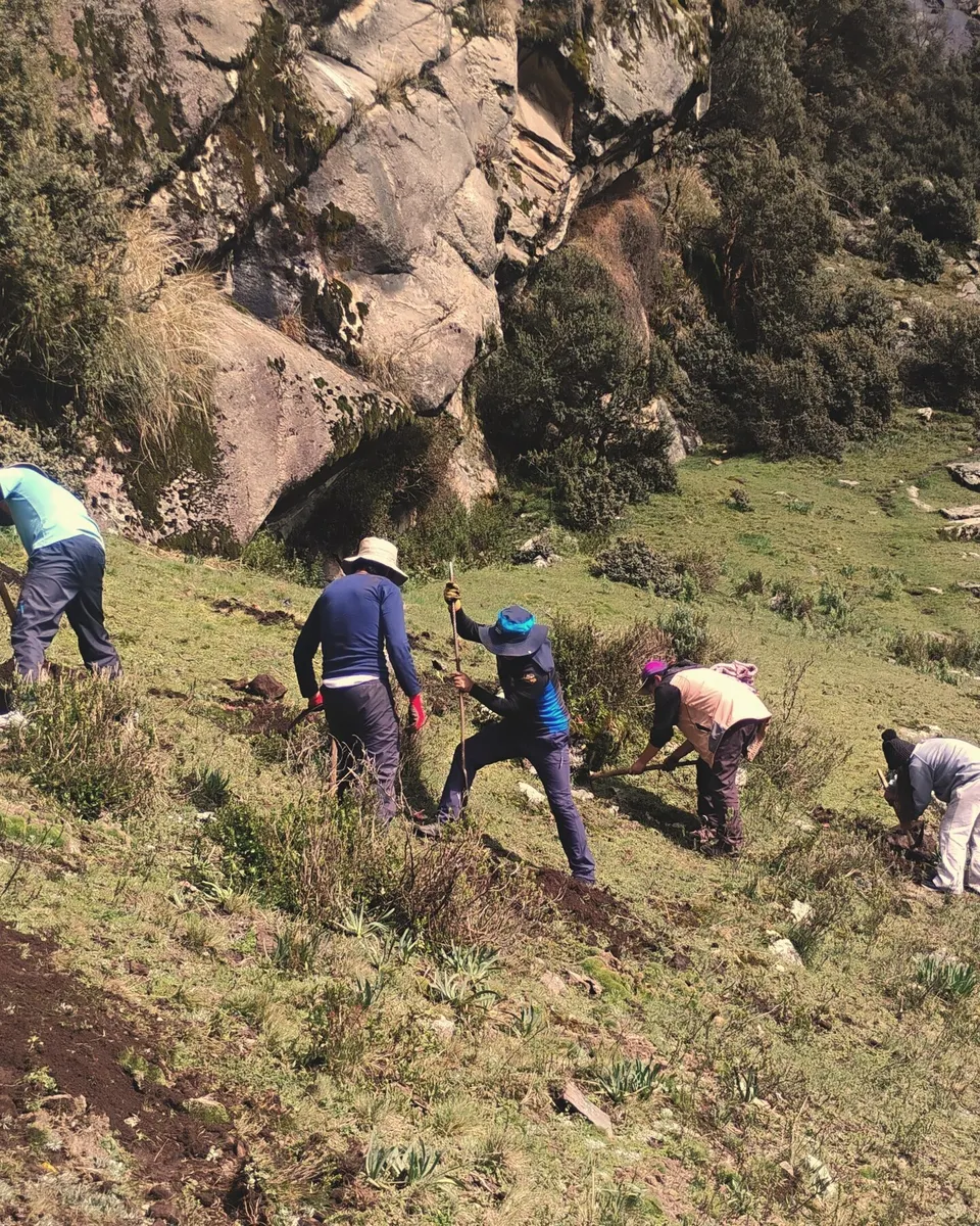
Santiago de Chuco, La Libertad
The current exploration focuses on high Andean land that the Cahuide community may propose in the district and province of Santiago de Chuco.
Together, we need to review who can decide over each area, how the land is used, its boundaries and access, water availability, and the first ecological conditions.
Only after the documents and field conditions have been checked can Orateva explain which areas could enter the project, which need more work and which do not meet the conditions.
Where the project stands today
Pre-feasibility with Cahuide: community dialogue, participatory mapping, preparation of the field visit and review of the available land documents.
- First dialogue with the Cahuide community underway
- Participatory map prepared for field discussion
- Land documents, uses and boundaries to verify
- Agreements, financing and project design to confirm
- Independent validation
- Registration and first verification
No planting begins before the land has been validated, the agreements have been signed and the financing has been confirmed. At this stage, the project still has to prove that these conditions can be met.
Cahuide is the community with which the current exploration is taking place. No project perimeter, partnership agreement, planted area or carbon result is presented here as confirmed.
Santiago de Chuco, La Libertad
Project Puna is being prepared together with the Cahuide community. Field visits and work with the community will help identify the land that could become part of the project.
From financing to planting
If the land, agreements and financing are validated, the work will be organised with the community and carried out in stages.
-
01
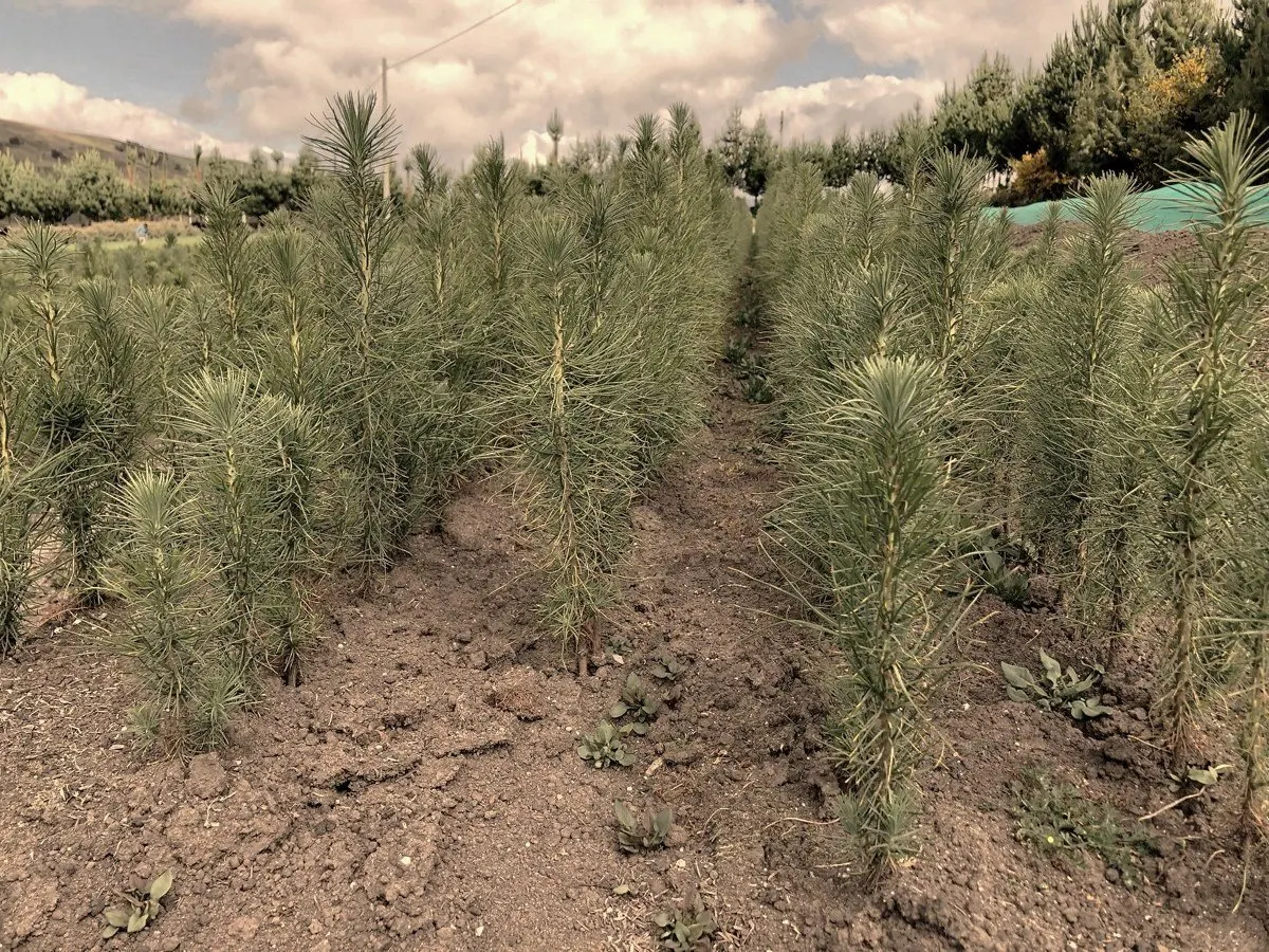
Produce the plants
Set up nurseries and produce the seedlings with the materials, inputs and species mix agreed for the first plots.
-
02
Prepare the plots
Confirm boundaries, organise access, transport, equipment and the work schedule before field operations begin.
-
03
Plant with local teams
Carry out the planting in the selected areas and record the work completed. Pine and queñual are being discussed, but the final mix is not decided.
-
04
Maintain and monitor
Track survival, replace dead seedlings, protect the plots and measure forest growth over time.
Who decides what
The community may identify land for discussion. Its legal status, authority, existing uses and boundaries must be verified before any project area can be proposed.
If the project proves feasible, future agreements would need to define the land concerned, commitments, decision-making, benefit sharing and exit conditions before any planting begins.
The current conversation is with Cahuide. The partnership, the land concerned and the benefit-sharing arrangements remain to be defined in writing.