Forest projects built with communities, to last beyond carbon.
Orateva develops reforestation and forest conservation carbon projects in partnership with local communities, from the first conversations in a territory through to certification.
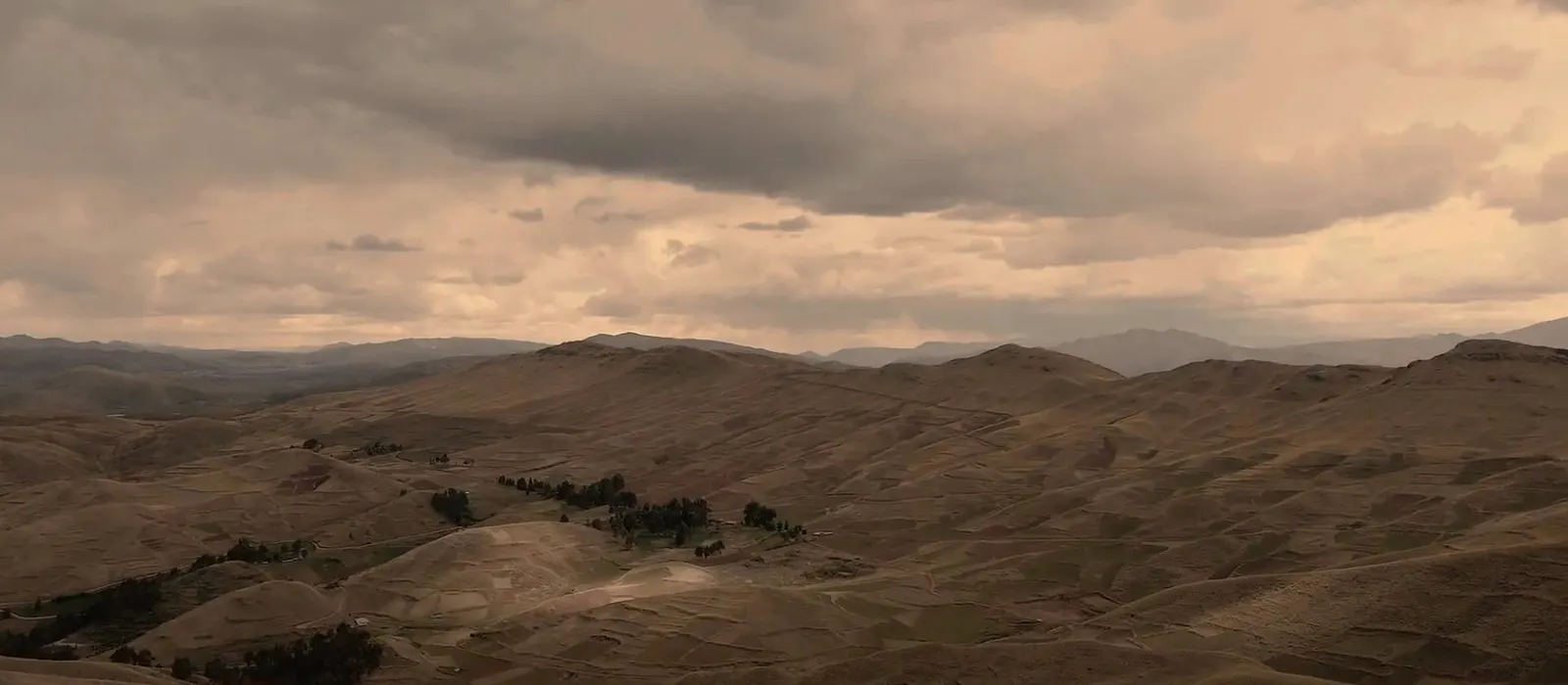
Project Puna is now being explored with the Cahuide community in Santiago de Chuco, La Libertad, Peru. The territory, agreements and project design are still being assessed.
Orateva develops forest carbon projects directly, from the first conversations in a territory through to independent verification.
Reforestation, conservation, community partnership and carbon belong to a single project. They are designed together, carried out together, and monitored together over time.
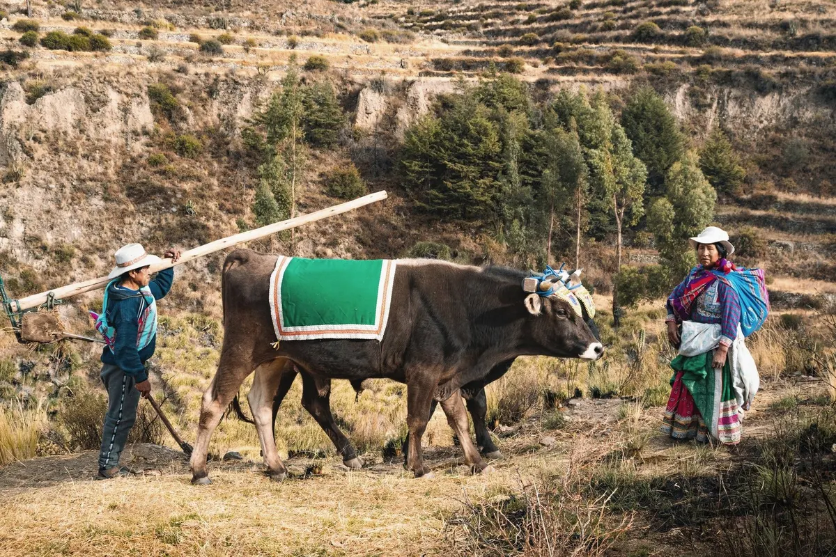
Every project starts from the realities of the territory: its soils, its existing forests, its farming and grazing practices, and the priorities expressed by the community.
Pre-feasibility - Santiago de Chuco, updated August 2026
Our first project is now being explored with the Cahuide community, in Santiago de Chuco, La Libertad.
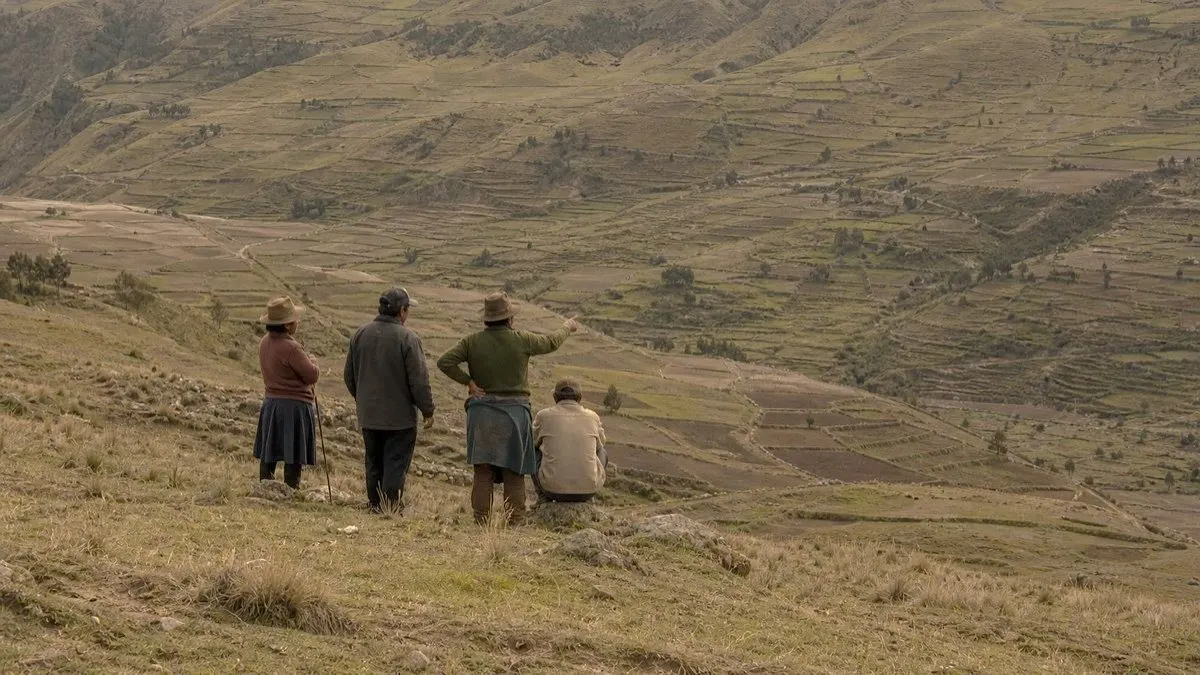
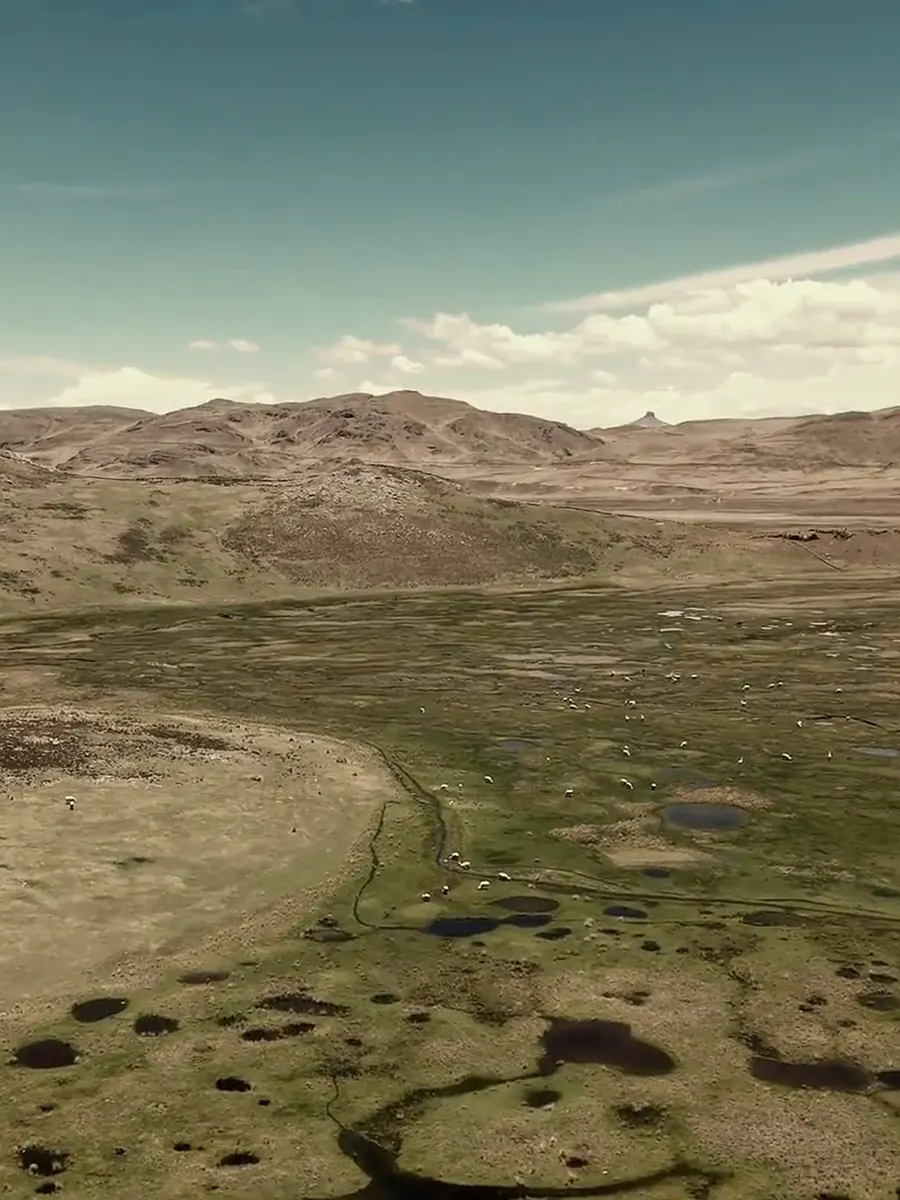
The name refers to the puna, the cold grassland plateau above the tree line, where eroded slopes, thin soils and grazing pressure shape what restoration can realistically achieve.
The current work is at pre-feasibility: preparing the field visit, reviewing the land the community may propose, checking the available documents and deciding whether a project can be built there.
First dialogue with the Cahuide community underway
Participatory map prepared for field discussion
Land documents, uses and boundaries to verify
Agreements, financing and project design to confirm
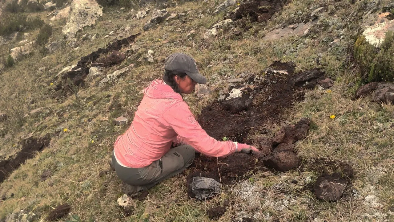
Project Puna is being prepared together with the Cahuide community. Field visits and work with the community will help identify the land that could become part of the project.
How a project is built
A project is built in four stages. Each stage prepares the next.
01
Understand the territory
Soils, existing forest, native species, water, and the farming and grazing practices already in place. What the land can carry decides what gets planted.
02
Build the partnership
Roles, commitments, decision-making and benefit sharing are defined with the community members involved, then written into clear agreements.
03
Carry out the work
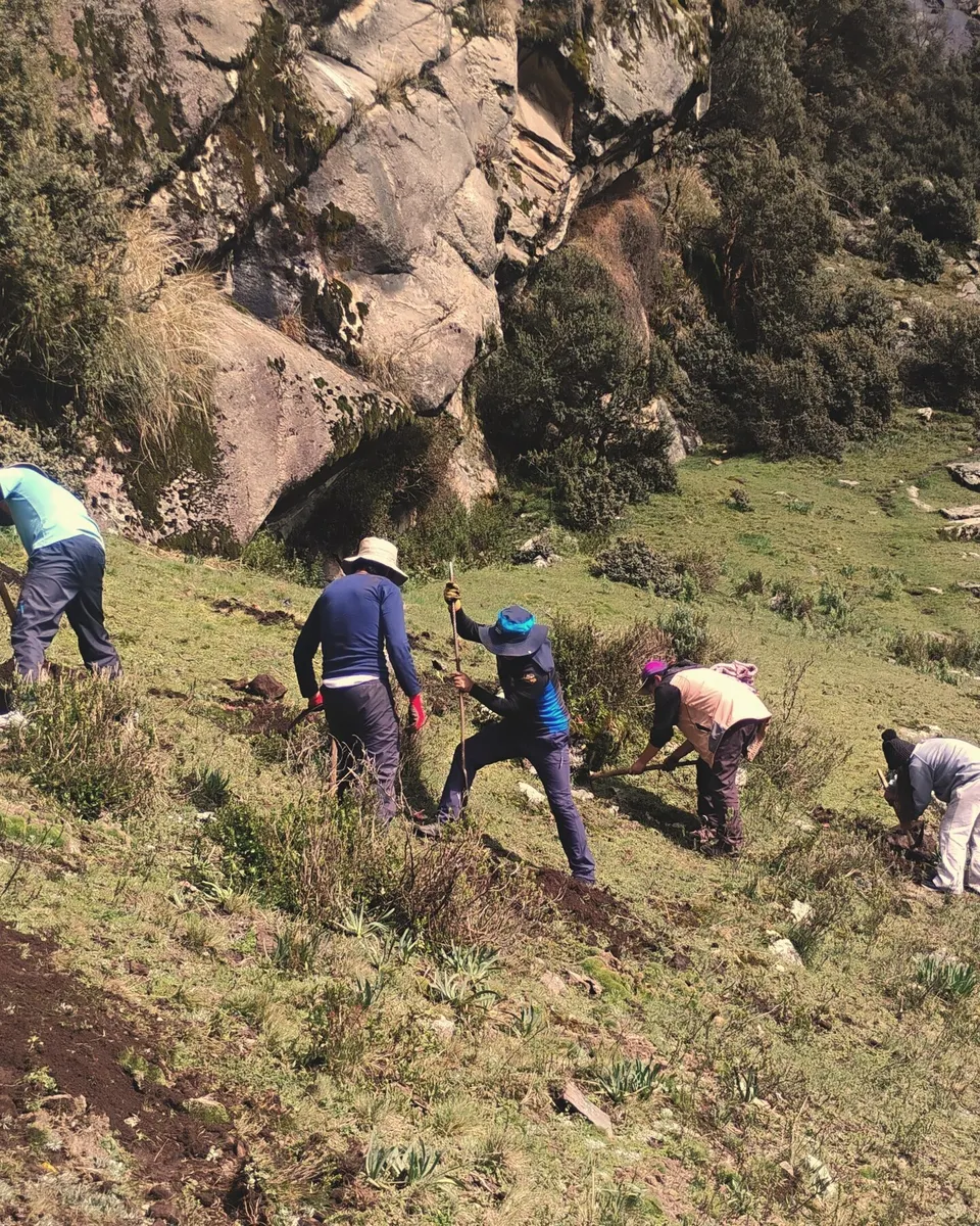
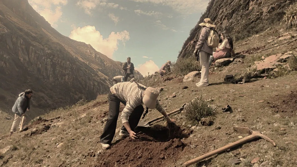
Nursery production, site preparation, planting, maintenance. Assisted natural regeneration, diversified plantings and agroforestry, chosen to fit the site.
04
Monitor over time
Field measurement, remote sensing and digital collection feed one MRV system, which guides decisions and prepares independent validation and verification.
A forest project does not start with planting. It starts by understanding the land and building agreements with the community.
Project Puna - How we work
Monitoring and verification
We track the work completed, changes in the forest and the results achieved over time.
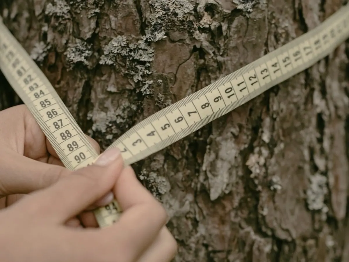
Field plots, diameter and height measurements, survival counts, satellite imagery and remote sensing are combined into a single monitoring system. The same data guides technical decisions and prepares the certification file.
Orateva is preparing its projects for a possible pathway under the Verified Carbon Standard, administered by Verra. Eligibility, methodology, independent validation and registration must still be demonstrated before any verified credits can be issued.
International experience, anchored in Peru.
Orateva brings together experience in forest and carbon projects across several countries, including projects developed in Peru and direct knowledge of field implementation.
We work between Europe and Latin America and combine project development, community relations, forestry, field operations and carbon monitoring. Project Puna is the first project we are building under the Orateva name.